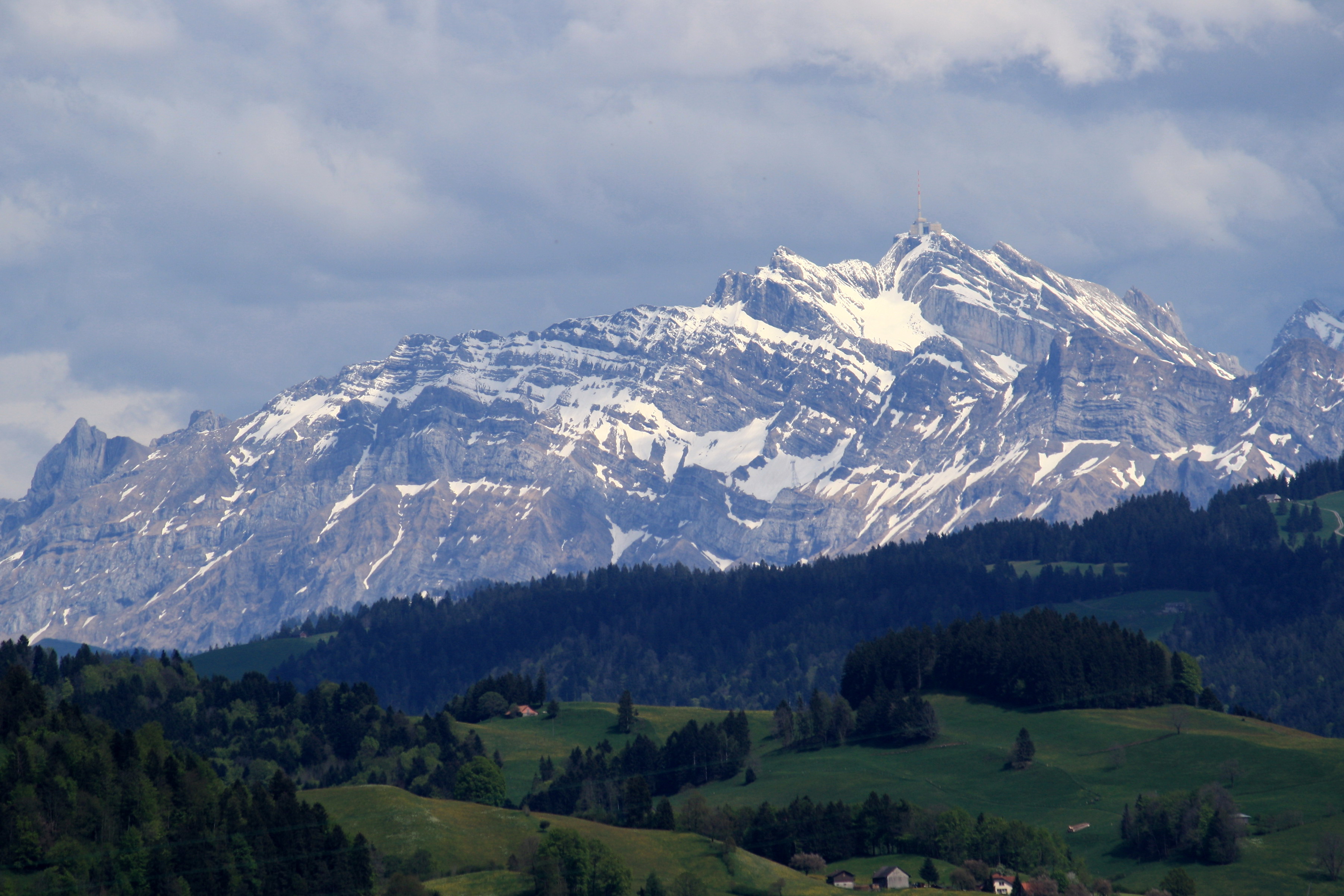
AI – Säntis (2502m)
| Canton | AI – Appenzell Innerrhoden |
| Highest point | Säntis |
| Highest elevation | 2502m |
| Coordinates of highest point | 47°14′57″N 9°20′36″E |
| Lowest point | Appenzell Ausserrhoden and St. Gallen border |
| Lowest elevation | 560m |
| Mean elevation | 1126m |
| Elevation difference | 1942m |
| Summited | 20.03.2015 |
| Reports | Blog entries |