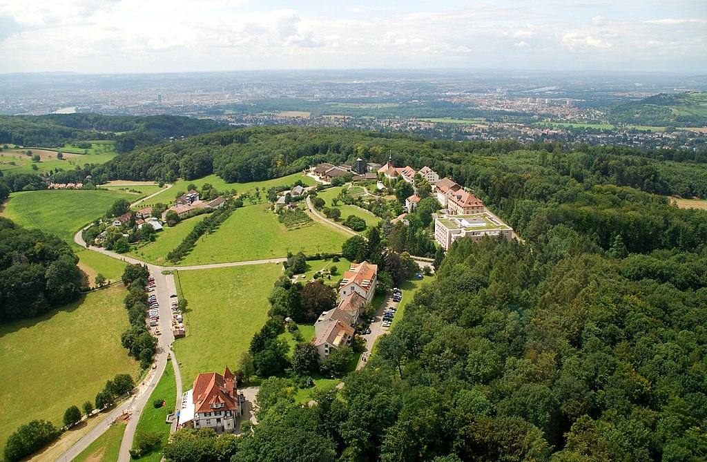
BS – St. Chrischona (522m)
| Canton | BS – Basel-City |
| Highest point | St. Chrischona |
| Highest elevation | 522m |
| Coordinates of highest point | 47°34′23″N 7°40′48″E |
| Lowest point | Rhine river (CH border) |
| Lowest elevation | 245m |
| Mean elevation | 295m |
| Elevation difference | 277m |
| Summited | 10.05.2015 |
| Reports | Blog entries |