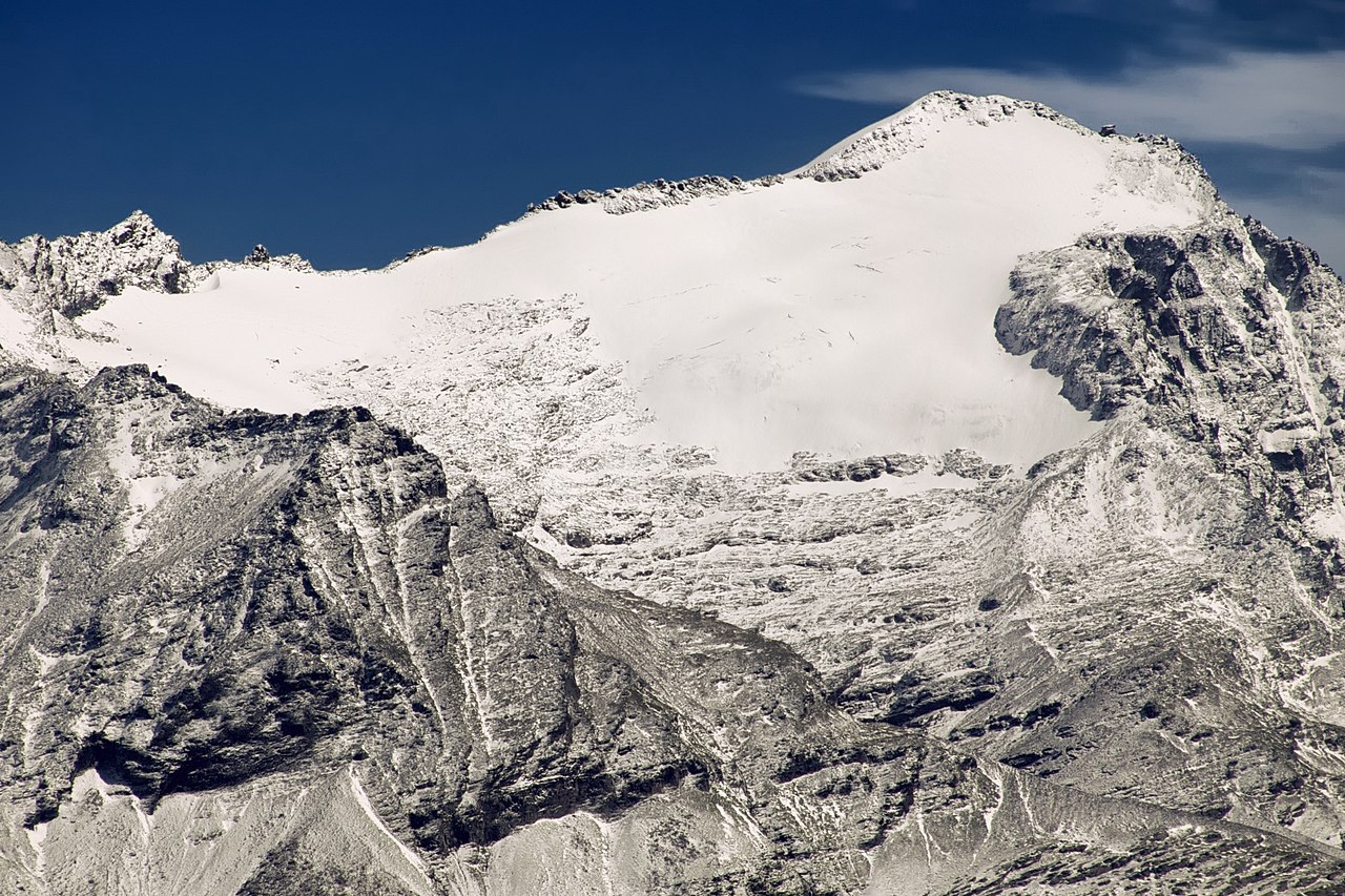
TI – Rheinwaldhorn (3402m)
| Canton | TI – Ticino |
| Highest point | Rheinwaldhorn |
| Highest elevation | 3402m |
| Coordinates of highest point | 46°29′37″N 9°02′24″E |
| Lowest point | Lake Maggiore |
| Lowest elevation | 193m |
| Mean elevation | 1412m |
| Elevation difference | 3209m |
| Summited | 27.06.2015 |
| Reports | Blog entries |